
Woodlands Trail
Picnic areas
Along the way Woodlands Day Use Area
Trailhead Woodlands Trailhead 229 ft Drive there
Hike the Woodlands Trail 5 mi round trip · the Park Service's write-up
2-4 Hours · dogs allowed
Start Big Sandy Creek Unit | Dallardsville, TX
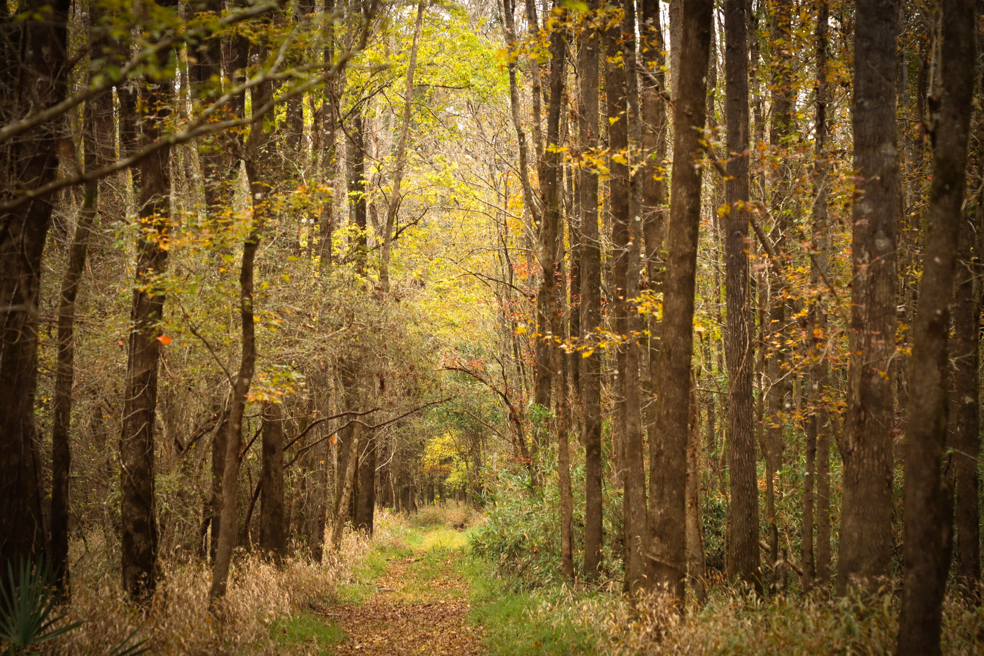
The Woodlands Trail is a pleasant loop hike through different kinds of forest scenery in the northwest corner of the Big Thicket. Short hills add a few ups and downs to this shaded hike.
Distance: 5 miles roundtrip
Type: Out-and-back and loop combination
Location: Big Sandy Creek Unit
Trailhead: Parking lot on FM 1276
Lat/Long: 30.679593, -94.699424
Overview
The Woodlands Trail has loop options of 3, 4¼, and 5 miles roundtrip.
Start at the trailhead on Farm to Market Road (FM) 1276 and follow the trail signs past the information kiosk. Near Collins Pond, cross a pipeline right-of-way and continue into the forest.
Go over a few short bridges through a floodplain until you arrive at a bench marking the beginning of the loop section. The left fork climbs through a hilly pine forest while the right fork follows Big Sandy Creek. There are 2 cutoff trails in the middle of the loop that shorten the loop to 3 and 4¼ miles.
Some of the junctions have a bench with a map that indicates your current position. When you return to the beginning of the loop, follow the out-and-back section to return to the trailhead.
More Information
Download a trail map
Explore the Big Sandy Creek Unit
Accessibility Trail surfaces include hard-packed soil, leaves, and wooden bridges. This trail has some elevation gain and loss on the west side of the loop. There are several sections there where the trail is deeply rutted. Expect muddy conditions on the portion of trail along Big Sandy Creek if it has rained recently.