
Turkey Creek Trail
Picnic areas
Along the way Day Use Area North Turkey Creek Day Use Area South Turkey Creek Day Use Area
Trailheads Turkey Creek Day Use Area 85 ft Drive there · Turkey Creek Day Use Area 85 ft Drive there · Turkey Creek Trail - FM1943 Trailhead 136 ft Drive there
Hike the Turkey Creek Trail 14 mi one way · the Park Service's write-up
dogs allowed
Start Turkey Creek Unit | Warren and Kountze, TX
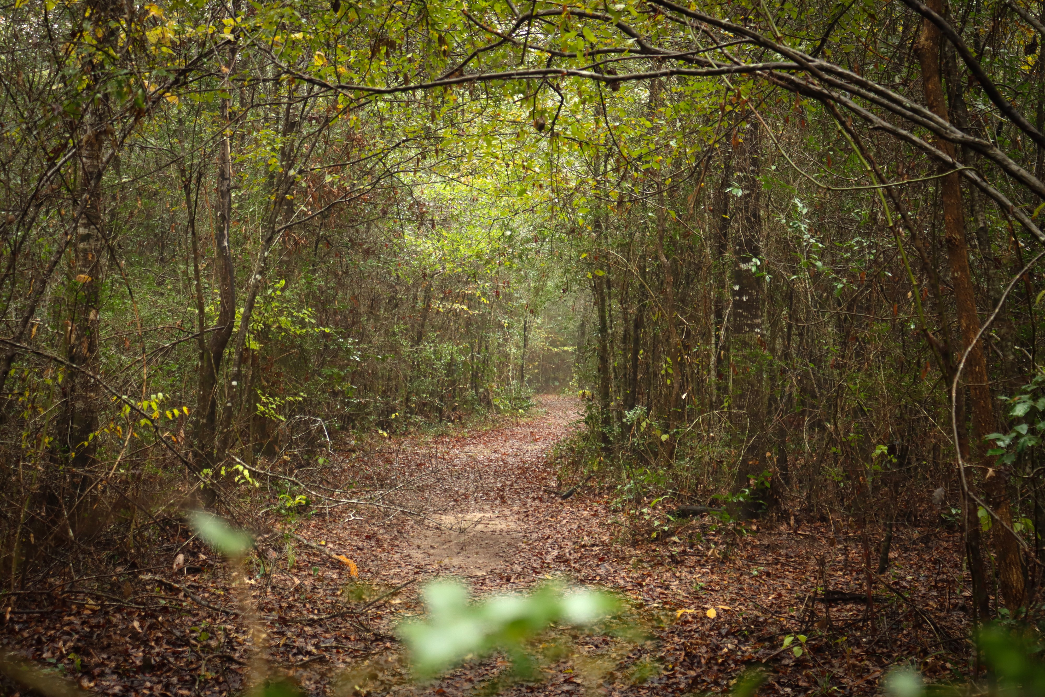
The Turkey Creek Trail leads into the backcountry of the Turkey Creek Unit, connecting with several trails along the way.
Distance: 14 miles one-way
Type: Out-and-back
Location: Turkey Creek Unit
Trailhead: Several options— see below
Overview
You can begin the Turkey Creek Trail at several trailheads, listed here from north to south:
Farm to Market Road 1943
3 miles one-way between FM 1943 and Pitcher Plant Trail
Trailhead: Parking lot on FM 1943
Lat/Long: 30.613495, -94.344206
Farm to Market Road (FM) 1943 is the northern terminus of the Turkey Creek Trail. For a 7-mile roundtrip hike, begin here and hike 3 miles south to the Pitcher Plant Trail. Look for carnivorous pitcher plants in spring and summer on the 1-mile loop, then return to FM 1943.
Pitcher Plant Trail
3.4 miles one-way between Pitcher Plant Trail and County Road 4825
Trailhead: Parking lot on County Road 4850
Lat/Long: 30.582233, -94.336456
The Turkey Creek Trail runs concurrent with the Pitcher Plant Trail loop for a short distance. South of Pitcher Plant Trail, the Turkey Creek Trail closely follows Turkey Creek for 3.4 miles until meeting County Road 4825. Parts of this section may be flooded following heavy rains.
County Road 4825
2.7 miles one-way between County Road 4825 and Gore Store Road
Trailhead: Pullout along County Road 4825
Lat/Long: 30.551140, -94.332550
The Turkey Creek Trail crosses Turkey Creek at County Road (CR) 4825, then heads south along the west bank of the creek for 2.7 miles to Gore Store Road. The trail crossing at CR 4825 has no facilities and parking is limited.
Gore Store Road
5.8 miles one-way between Gore Store Road and FM 420
Trailhead: 2 parking lots on Gore Store Road
Lat/Long:
Northbound: 30.522098, -94.346870
Southbound: 30.520944, -94.343806
Gore Store Road has 2 trailheads; the northbound trailhead is on the west side of Turkey Creek while the southbound trailhead is on the east side. From here, hikers can head south for about 4 miles to reach the Sandhill Loop Trail, and eventually the Kirby Nature Trail at 5 miles. From Kirby, hike 0.8 mile to reach the trailhead on FM 420.
Kirby Nature Trail
Trailhead: Parking lot on FM 420
Lat/Long: 30.462122, -94.350825
The Kirby Nature Trail connects to the southern terminus of the Turkey Creek Trail at the Village Creek Bridge. The Kirby inner loop is the most direct route between the Turkey Creek Trail and the trailhead on FM 420.
More Information
Download a trail map
Explore the Turkey Creek Unit
Accessibility Trail surfaces include hard packed soil and leaves and wooden boardwalks. The trail is generally flat with some minor ups and downs. Hazards include exposed tree roots and muddy sections if it has rained recently.