
Longleaf Pine Trail
Picnic areasVisitor centers
Along the way Day Use Area Big Thicket Visitor Center
Hike the Longleaf Pine Trail 1 mi round trip · the Park Service's write-up
30-60 Minutes · dogs allowed
Start Turkey Creek Unit | Kountze, TX
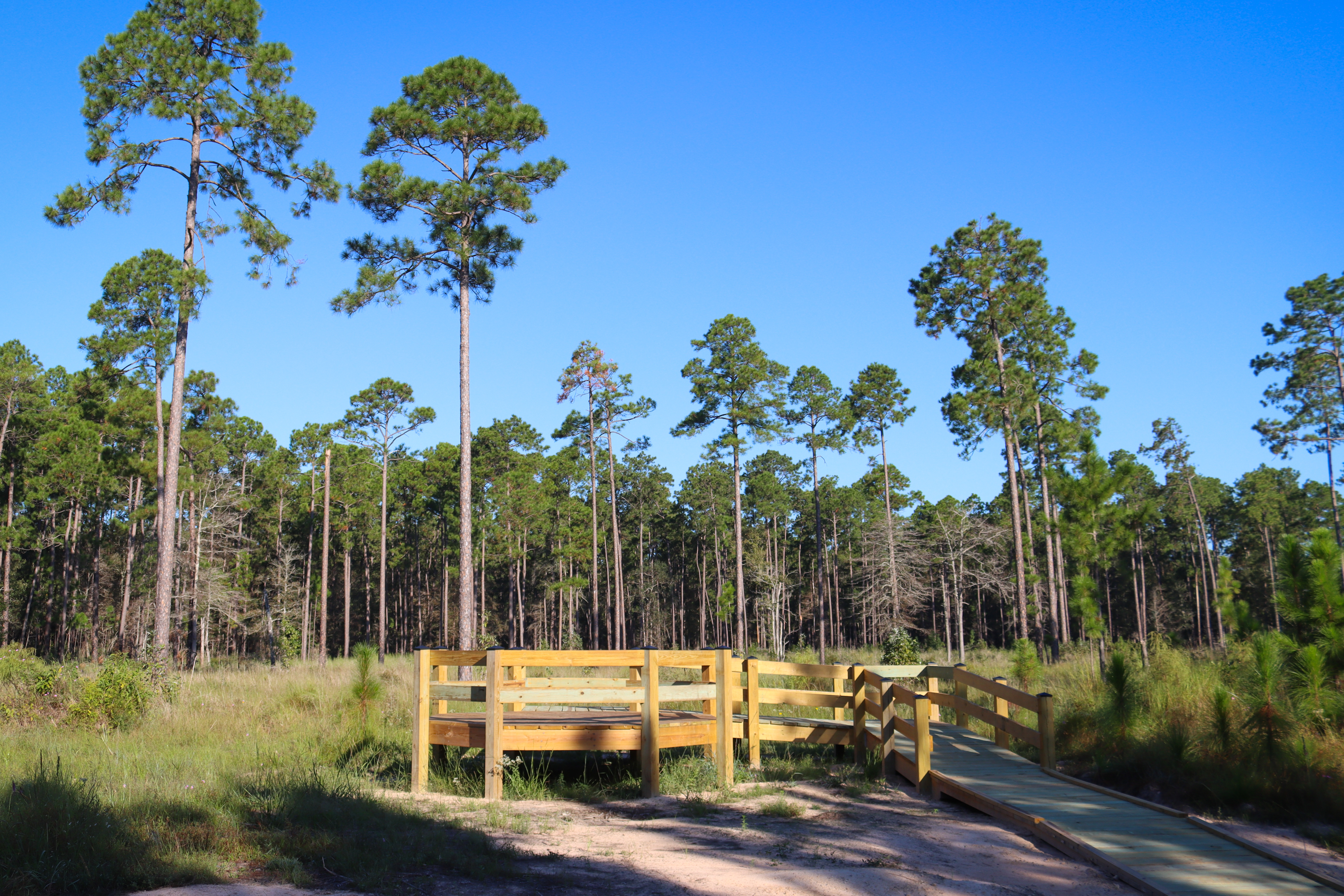
Opened in 2024, the Longleaf Pine Trail begins at the visitor center and leads to a viewing platform in a young longleaf pine forest.
Distance: 1 mile roundtrip
Type: Out-and-back
Location: Turkey Creek Unit
Trailhead: Visitor center parking lot on FM 420
Lat/Long: 30.458335, -94.387404
Overview
To begin, follow the boardwalk from the visitor center parking lot toward park headquarters. Trail signs point the way; head to the right along the service road, go past the maintenance yard, then go left to where the trail begins at the edge of the woods.
From here, follow the winding path through shady forest, over small bridges, and eventually to a sunny, open longleaf pine forest. Eventually the trail meets an old road; turn right (south) along the road until you reach the newly-constructed observation platform.
A little further past the platform, a 3-sided display provides information about the preserve's ongoing longleaf pine restoration project. Many of the young longleaf pines in this area were planted by volunteers.
To return to the visitor center, retrace your steps.
More Information
Download a trail map
The visitor center parking lot is open 9:00 am–5:00 pm daily. After hours, park along FM 420 (do not block gates).
Explore the Turkey Creek Unit
Accessibility The trail is generally flat, with a few minor ups and downs. Trail surfaces include gravel road, hard-packed soil covered in leaves, and wood boardwalks. The old road section of the trail may be muddy if it has rained recently.