
Birdwatchers Trail
Picnic areas
Along the way Birdwatchers Trail Day Use Area
Trailhead Birdwatchers Trailhead 79 ft Drive there
Hike the Birdwatchers Trail the Park Service's write-up
30-60 Minutes · dogs allowed · season <p>Winter and early spring are best for views of the Trinity River.</p>
Start Menard Creek Corridor Unit | Romayor, TX
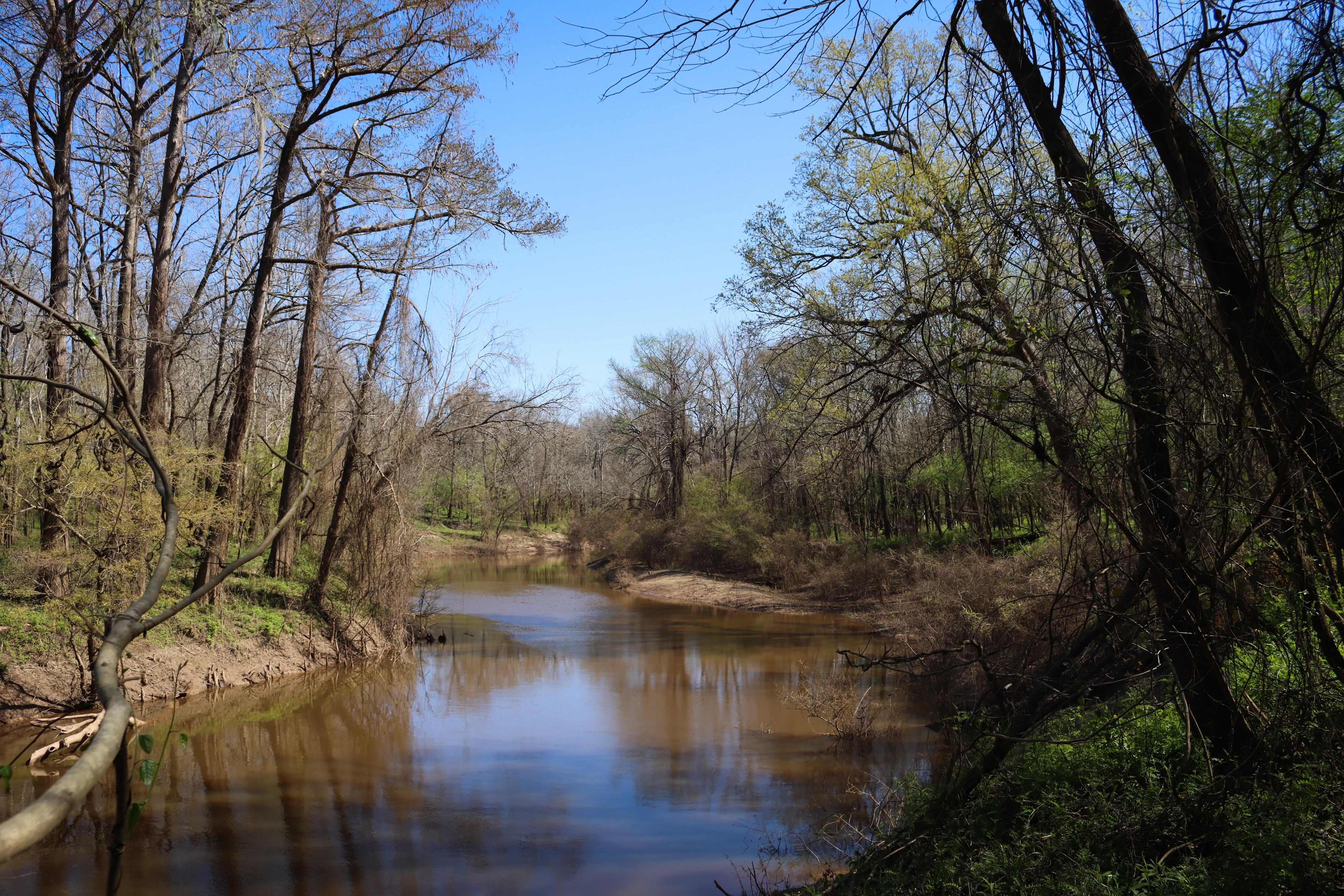
The Birdwatchers Trail leads past Menard Creek to a quiet spot to look for birds and see the Trinity River in the distance.
Distance: ¾ mile roundtrip
Type: Out-and-back
Location: Menard Creek Corridor Unit
Trailhead: Parking lot on Forest Park Lane
Lat/Long: 30.488579, -94.837222
Overview
Begin the hike at the parking lot on Forest Park Lane, marked with a picnic table.
Shortly into the hike, a side trail leads to the right (north) to a view of Menard Creek. After enjoying the view, return to the trail and continue through the woods.
The trail ends at a picnic table with views of the Trinity River, an important migration route for birds . When ready to return to the trailhead, retrace your steps.
More Information
Explore the Menard Creek Corridor Unit
Accessibility The trail is generally flat with a short decline near the beginning. Hikers may encounter large puddles and mud on the trail even if it has not rained for several days. The trail ends at a picnic table in a grassy area.