
Big Sandy Trail
Picnic areas
Along the way Day Use Area
Trailhead Big Sandy Trailhead 255 ft Drive there
Hike the Big Sandy Trail 14.7 mi round trip · the Park Service's write-up
dogs allowed · season <p>Hunting is allowed in this area Oct–Feb; wear orange if you hike Big Sandy Trail during hunting season.</p>
Start Big Sandy Creek Unit | Dallardsville, TX
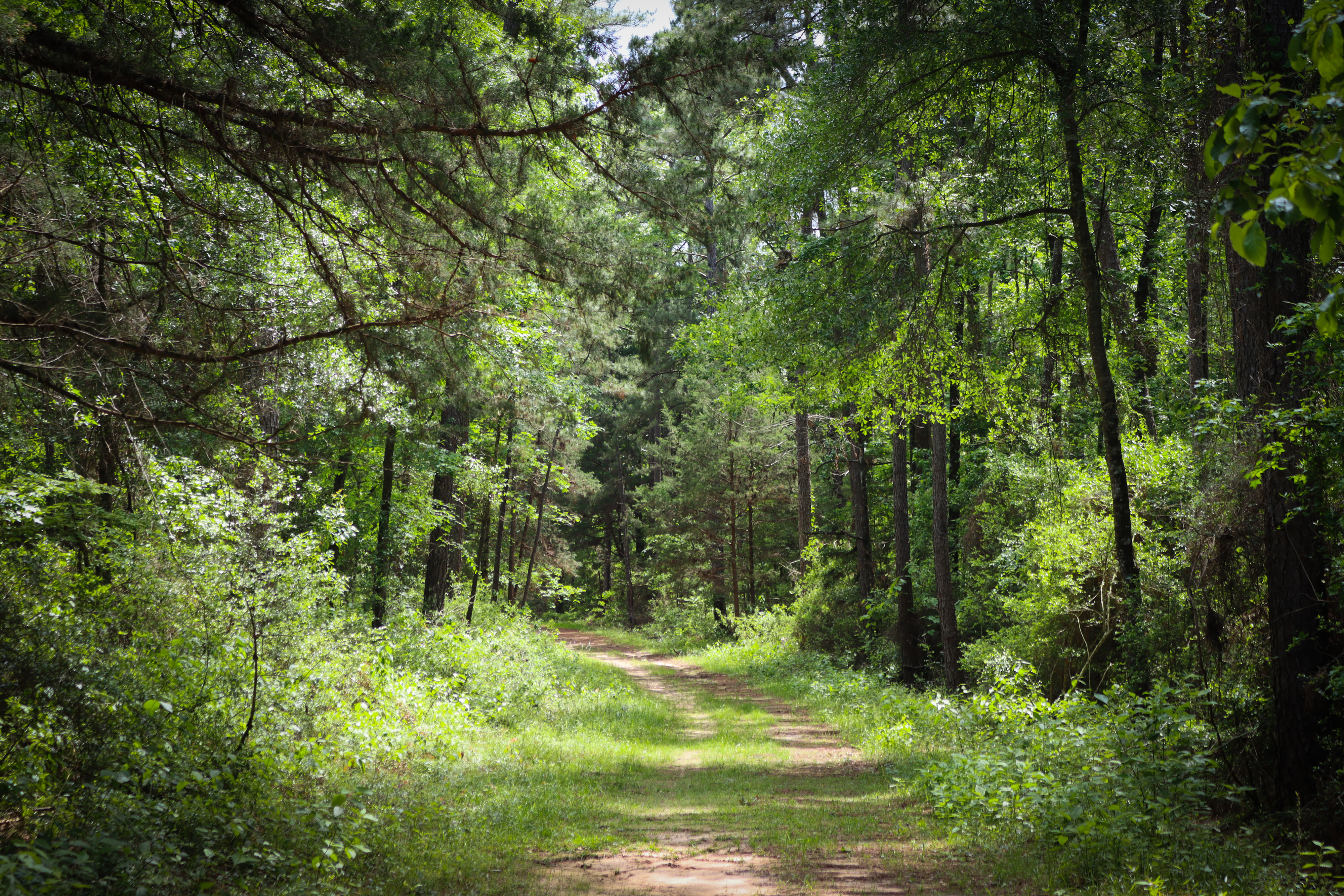
The Big Sandy Trail follows old logging roads that wind through the woods. This is the only trail in the preserve open to bicycles and horses.
Distance: 14.7 miles roundtrip
Type: Out-and-back and loop combination
Location: Big Sandy Creek Unit
Trailhead: Parking lot on Sunflower Road
Lat/Long: 30.614694, -94.671056
Overview
Big Sandy Trail has some elevation gain and loss as it follows gentle slopes. This trail is a great option for those looking to camp in the Big Thicket backcountry.
From the trailhead on Sunflower Road, walk past the metal gate next to the information kiosk to begin the hike. The trail intersects several old logging roads—follow the signs for the horse trail to stay on the main trail. Side paths may be explored on foot, but they are not maintained and may be overgrown.
At 3 miles, cross a bridge over Simmons Branch. This small tributary flows south to Big Sandy Creek. At 6.6 miles, the loop section begins. Go left or right to continue on the 1½-mile loop.
When you complete the loop, return 6.6 miles to the trailhead.
Safety
Hunting is allowed in the vicinity of the Big Sandy Trail from October 1 to February 28. Wear orange if you visit this trail during hunting season. The Big Sandy Trail is the only trail in Big Thicket National Preserve that goes through a hunting area.
More Information
Download a trail map
Explore the Big Sandy Creek Unit
Accessibility The Big Sandy Trail follows wide, old dirt roads. Trail users can expect to encounter tree roots, muddy stream crossings, and washboarded sections. While the grade is gentle, there are prolonged uphill and downhill sections.