
Beechwoods Trail
Picnic areas
Along the way Beech Woods Day Use Area
Trailhead Beech Woods Trailhead 194 ft Drive there
Hike the Beech Woods Trail the Park Service's write-up
1-2 Hours · dogs allowed · season <p>See bright green foliage in spring; fall colors in late November and early December.</p>
Start Beech Creek Unit | Spurger, TX
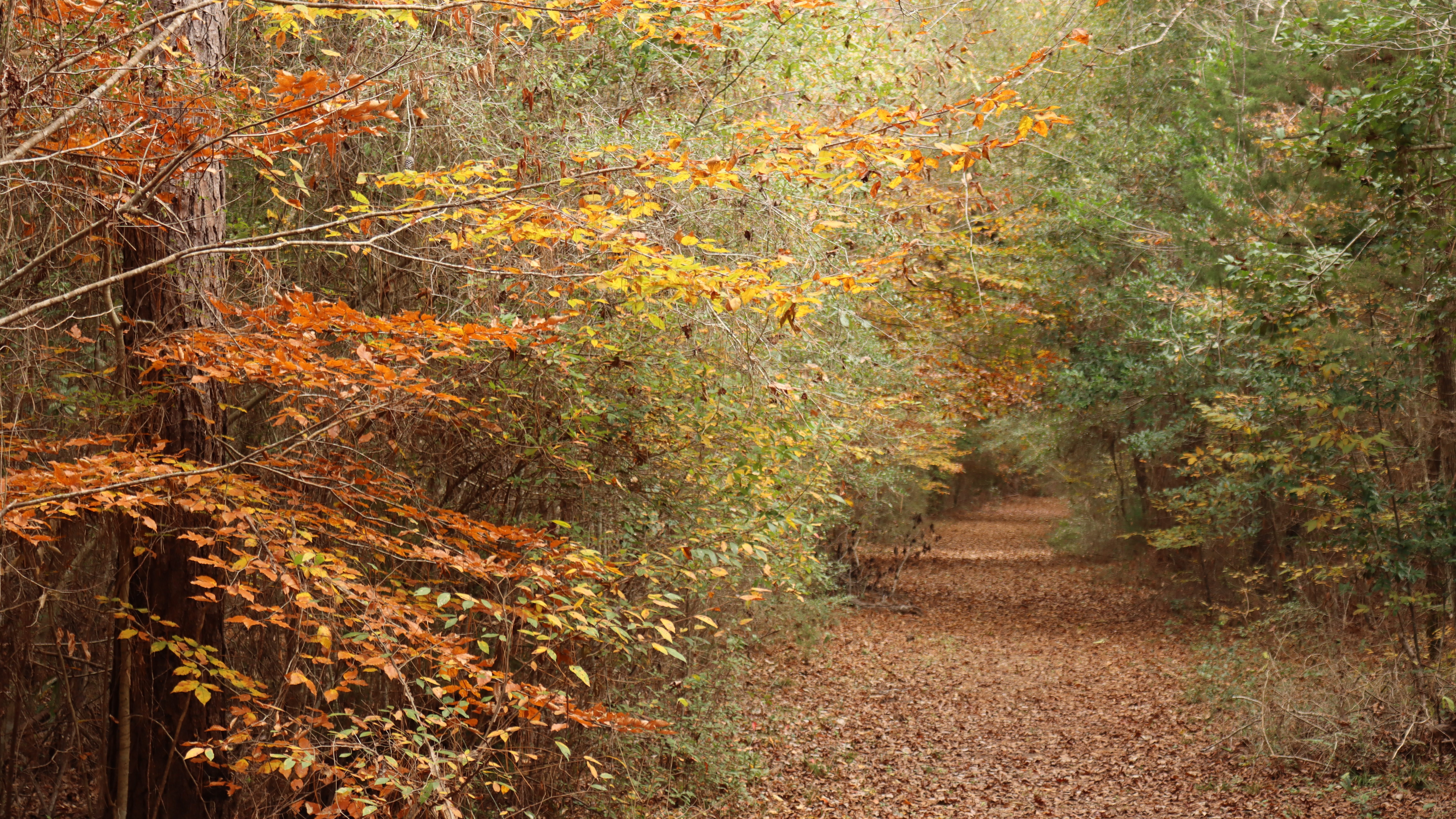
Big Thicket is at the extreme southwest limit of the American beech's native range. Hike through a shaded forest of beeches on this easy trail.
Distance: 1½ miles roundtrip
Type: Out-and-back and loop combination
Location: Beech Creek Unit
Trailhead: Parking lot on FM 2992
Lat/Long: 30.719469, -94.227299
Overview
The Beech Woods Trail begins at the parking lot on Farm to Market Road (FM) 2992. Walk past the metal gate and follow an old dirt road down a forested corridor until you reach a junction marked with a wooden trail sign. Turn right at the trail sign and follow the meandering trail through the woods. The next junction marks the beginning of the loop section; go left or right to continue.
After completing the loop, return the way you came.
More Information
Download a trail map
Explore the Beech Creek Unit
Accessibility The trail is mostly flat, on a leaf-covered dirt path and flat wooden bridges, and wide enough for a wheelchair. There are a few sections with exposed tree roots.