
Beaver Slide Trail
Trailhead Beaver Slide Trailhead 159 ft Drive there
Hike the Beaver Slide Trail 1 mi round trip · the Park Service's write-up
30-60 Minutes · dogs allowed · season <p>The cypresses and beeches display bright fall colors in late November and early December. April is a great time to see bright green foliage. Mosquitoes are common in late spring and summer.</p>
Start Big Sandy Creek Unit | Segno, TX
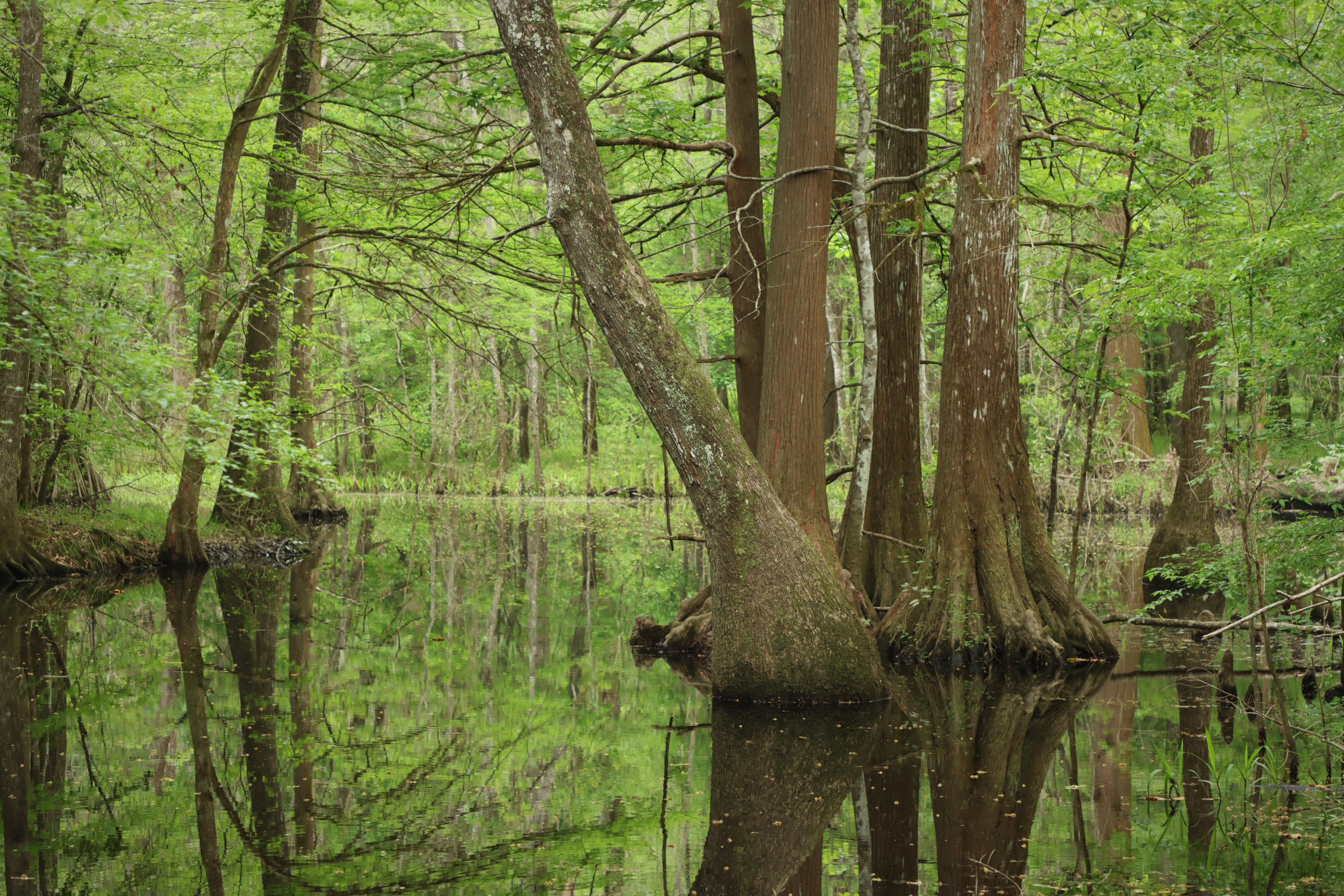
The Beaver Slide Trail is a hidden gem! See quiet ponds, sloughs, and Big Sandy Creek on this short hike.
Distance: 1 mile roundtrip
Type: Out-and-back and loop combination
Location: Big Sandy Creek Unit
Trailhead: Pullout on FM 943
Lat/Long: 30.573174, -94.642417
Overview
Begin the hike at the pullout along Farm to Market Road (FM) 943. From there, the trail descends into the woods, going over a few short wooden bridges to a scenic pond lined with bald cypress trees.
Shortly after going over some large, exposed tree roots, you reach the beginning of the loop section. Take a glance around to familiarize yourself with this intersection—it can be easily missed when returning to the trailhead.
Go left or right to begin the loop, then pass several more scenic sloughs and eventually reach a bend in Big Sandy Creek. When you reach the loop intersection again, return to the trailhead.
More Information
Download a trail map
No Signage: The Beaver Slide Trail currently does not have signage along the road or on trail.
Explore the Big Sandy Creek Unit
Accessibility The trail surface is composed of hard-packed soil, leaf litter, and wooden bridges. Hazards include large, exposed tree roots, as well as mud and puddles if it has rained recently. There is a downward grade at the beginning of the trail.