
Florida National Scenic Trail
Florida National Scenic Trail the Park Service's write-up
2-5 Days · no dogs
Start 52105 Tamiami Trail East, Ochopee, FL 34141 (southern terminus), 1400 Fort Pickens Rd, Pensacola Beach, FL 32561 (northern terminus)
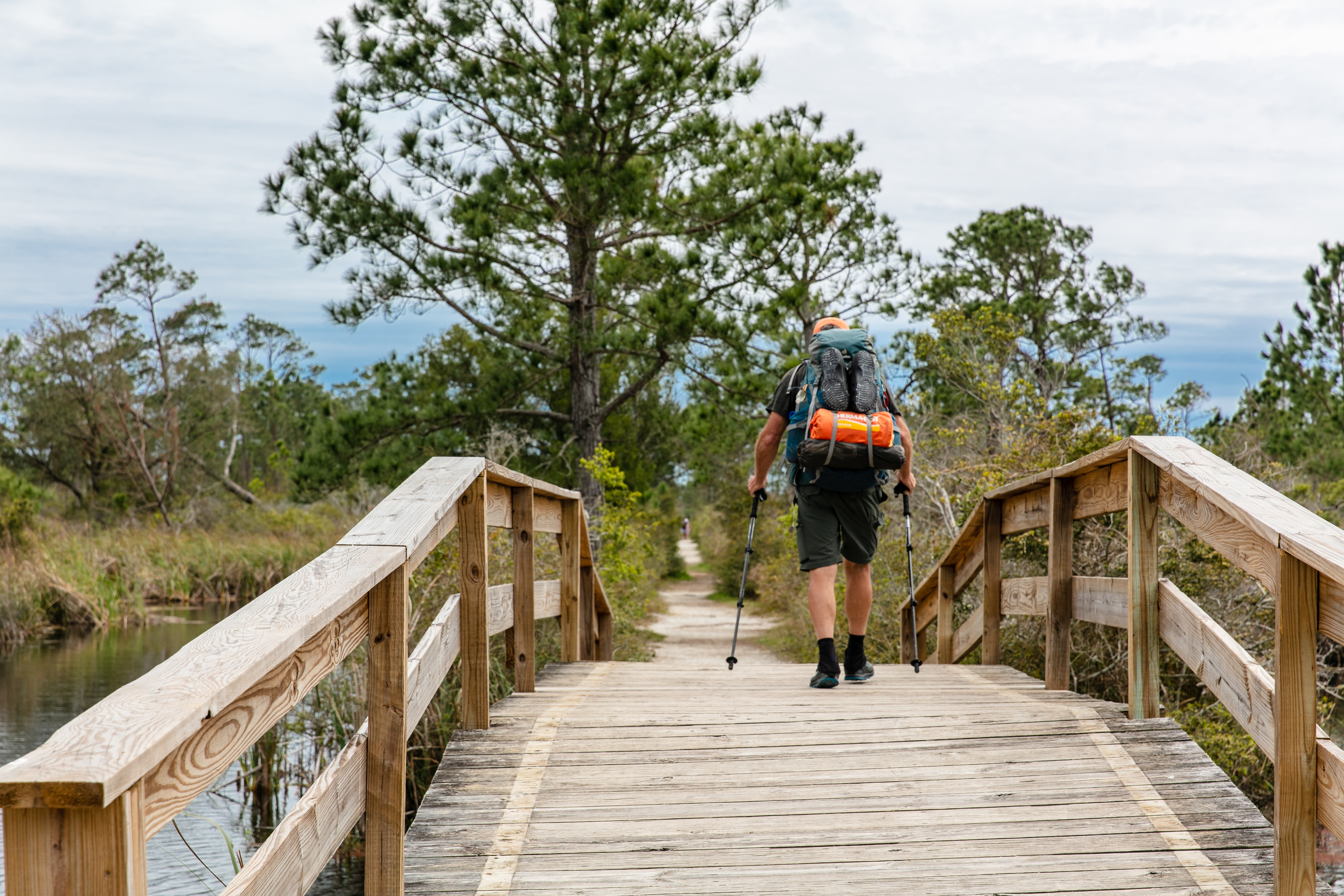
The Florida National Scenic Trail stretches about 1,400 miles from Gulf Islands National Seashore to Big Cypress National Preserve. The southernmost section of the trail is within the National Preserve. The southern terminus of the trail begins at the Oasis Visitor Center and stretches northward for approximately 36 miles to the Preserve's northern border. The northernmost section of the trail is within Gulf Islands National Seashore. It begins at Fort Pickens and runs parallel to the coastline for 7 miles before exiting the park, then reentering in the Santa Rosa area of the National Seashore for another 7 miles.
The trail passes through a variety of habitat types including beaches, hardwood hammocks, pinelands, prairies and cypress. Beyond the National Preserve boundary the trail is limited to a small number of hikers who are members of the Florida Trail Association per month traveling through the Seminole Reservation.
There are several backcountry campsites located along the trail. Backcountry permits are required to camp at these sites.
During the dry season (November-April), there may be very little to no water along the trail. Hikers need to pack in their own water.
This trail is moderately strenuous. Footing can be difficult and during the rainy season, the trail can be heavily vegetated and overgrown. Portions of the trail can be under water at certain times of year. Water can be as deep as 3 to 4 feet.
Several portions of the trail require hiking along the highway, up to 40 miles or more depending on the route chosen by the traveler. There are two sections where hikers may take an east or west route depending on personal preference and hiking ability. Be prepared with permits and clothing for drastic changes in temperature and weather pattern.
Accessibility This is a moderately strenuous hike. Hikers should be in good health and experienced in hiking in southern and northern Florida. Do not attempt if you have any underlying health conditions or limited mobility.