Bandelier National Monument · New Mexico

Tsankawi

0.3 mi of trail, end to end · 50 ft of descent · 6,615 ft–6,668 ft · hiking

6,668 ft 6,615 ft · 0.3 mi high 6,668 ft

Hike the Tsankawi Loop Trail the Park Service's write-up

1-3 Hours · no dogs · entrance fee applies · season The trail is open all year, however, can be icy in the the winter months.
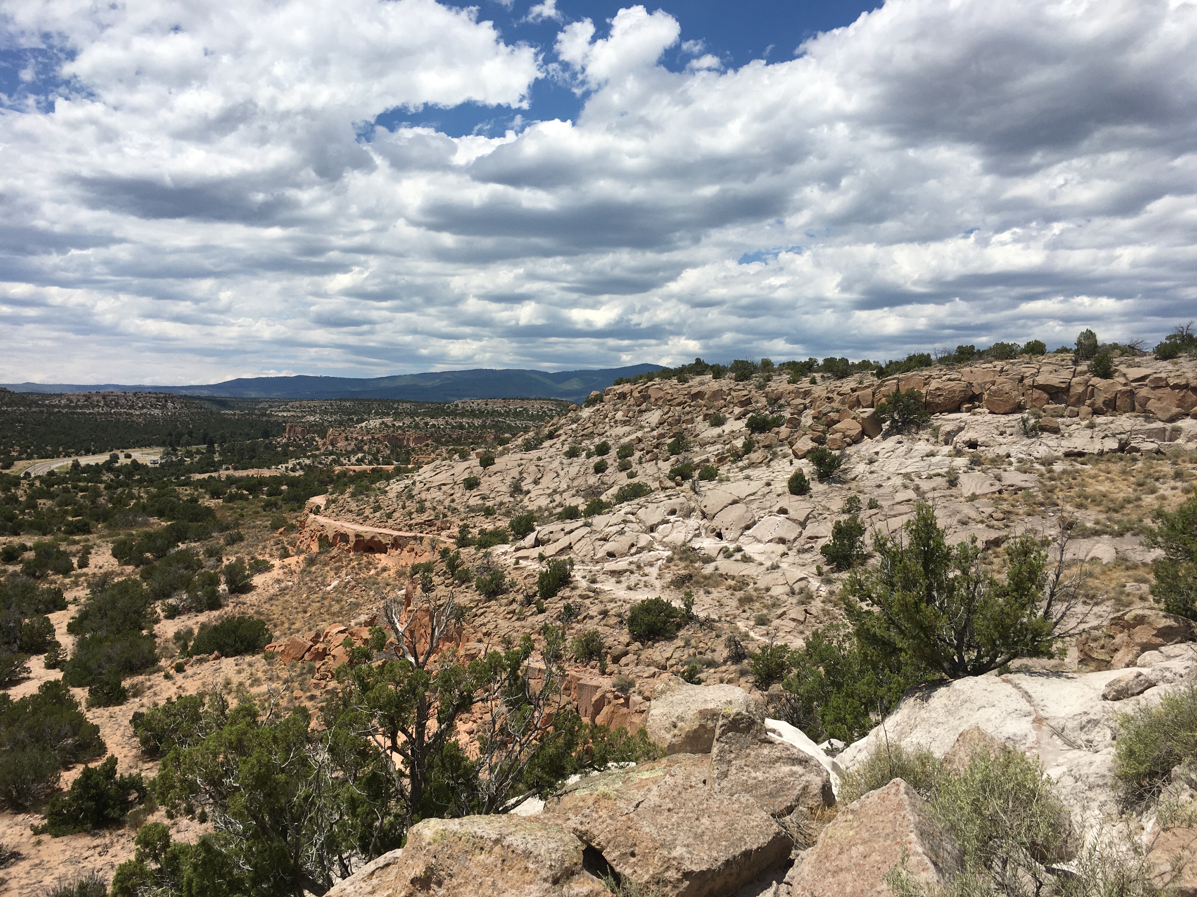
A vast view of the Tsankawi area of Bandelier.
The views go on for miles at Tsankawi. Photo: NPS

The Tsankawi section of Bandelier National Monument is located on State Highway 4 twelve miles from the main section of the park. At Tsankawi you take a 1.5 mile walk along a mesa, viewing cavates, petroglyphs and the Ancestral Pueblo village of Tsankawi. Ladders are a required part of this trail. The trail is very exposed to the elements and should not be taken during localized thunderstorms. Cold, snowy weather can make the trail slippery so extra care should be taken when visiting in winter.

Accessibility The Tsankawi trail contains a series of ladders, narrow passages, drop-offs, and elevation gain/loss. Because of these obstacles, the trail may not be accessible to service animals and people with physical impairments.

This hike on nps.gov

All 28 trails in Bandelier National MonumentFind a trailOn the parks mapPark on nps.gov

About this trail's facts

The lines are the National Park Service's public trails layer, the trailheads and the waterfalls, views, peaks and historic places along them the Service's public points of interest, read 2026-10-16 and simplified for the map; the length is the line's, end to end. The write-ups are the Service's own "things to do" text, unedited. Heights come from USGS 3DEP through Terrain Tiles on AWS (Mapzen/Tilezen), read along each line and rounded; a short trail on steep ground can be off by a few tens of feet. Closures change: check the park's own site before you go.