
Frijoles Trail
Hike the Frijoles Canyon & Rim Trail 8 mi one way · the Park Service's write-up
7-8 Hours · no dogs · entrance fee applies
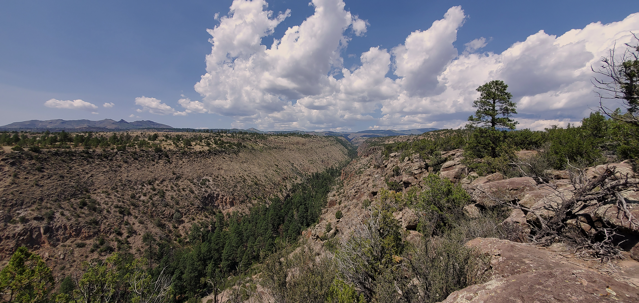
The Frijoles canyon trail is an 8 mile one way hike from Ponderosa campground to the Visitor Center. From Ponderosa campground the trail goes into the canyon and turns left along the creek and towards the Visitor Center. Take the time to enjoy the incredible rock formations and relax in the peace and quiet. Be prepared to get your feet wet as there are no bridges, but shallow water.
The Frijoles Rim trail is located on the mesa above Frijoles canyon. From Cottonwood picnic area by the Visitor center, take the Long trail to the Frijoles Rim trail. It connects to the Frijoles canyon trail at the upper crossing of Frijoles creek and allows you to turn this into about a 13 mile loop. This trail gives you expansive views of a good portion of Northern New Mexico and several mountain ranges.
Please note: Ask a ranger at the Visitor Center if you have questions about this trail or condtions.
Accessibility This trail is considered strenuous with significant elevation gain. Service animals can access the trail. This hike is only recommended for people in good physical health. It may take responders several hours to arrive on scene if a medical emergency should occur on this trail.