
Frey Trail
Trailhead Frey Trail 6,647 ft Drive there
Hike the Frey Trail 1.5 mi one way · the Park Service's write-up
1-4 Hours · no dogs · entrance fee applies
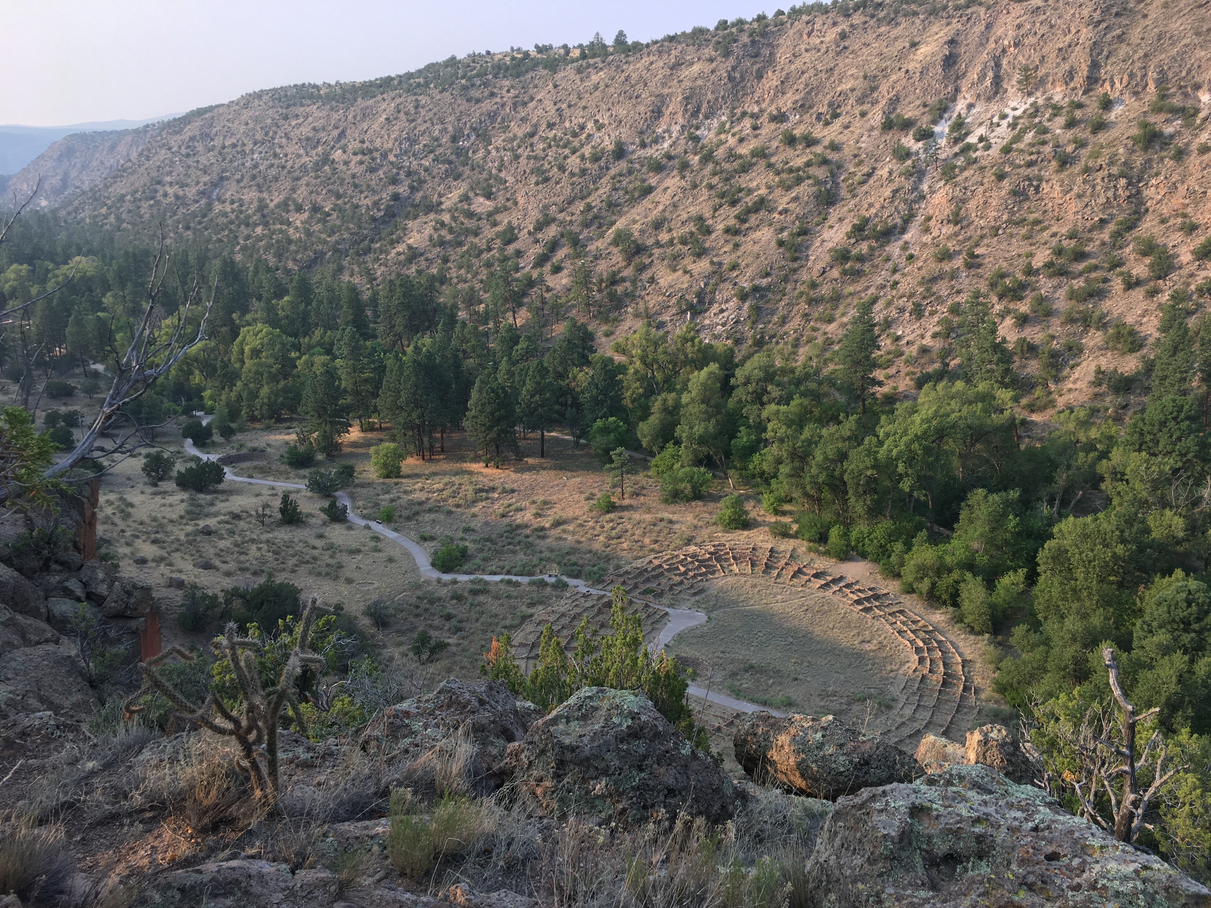
Before the construction of the entrance road in the late 1930's, the Frey Trail ( 1.5 miles one way) was the main route to enter and exit Frijoles Canyon. The trail begins at Juniper Campground and makes its way to the edge of the canyon where it switchbacks down to the canyon (>550' elevation change). The trail provides excellent views of Tyuonyi. Hiking up is a difficult trail at any time, it can be hot in summer as there is little shelter from the sun along the trail. Be sure and always carry plenty of water.
Hiking down is now a wonderful walk with amazing views. Just be sure to bring water. Also during summer (mid May to mid October) hike down the Frey Trail and take the shuttle bus back up to the trailhead. Check at the visitor center for current conditions of the shuttle bus.
Accessibility The Frey Trial is well developed but is steep and mostly uphill. It may be difficult for strollers, people who are not in good physical shape, and is not accessible to wheelchairs. The Frey Trail is especially difficult in the summer months when temperatures are high. We recommend at least on liter of water per hiker.