1.0 mi of trail, end to end · Alamo Boundary Trail: 1.3 mi each way in the Service's write-up · about 250 ft of climbing · 8,896 ft–9,165 ft · native surface · trail class Developed · hiking
TrailheadAlamo Boundary Trail 8,892 ft Drive there
Alamo Boundary Trail 1.3 mi each way · the Park Service's write-up
2-3 Hours · no dogs · entrance fee applies · Spring, Summer, Fall
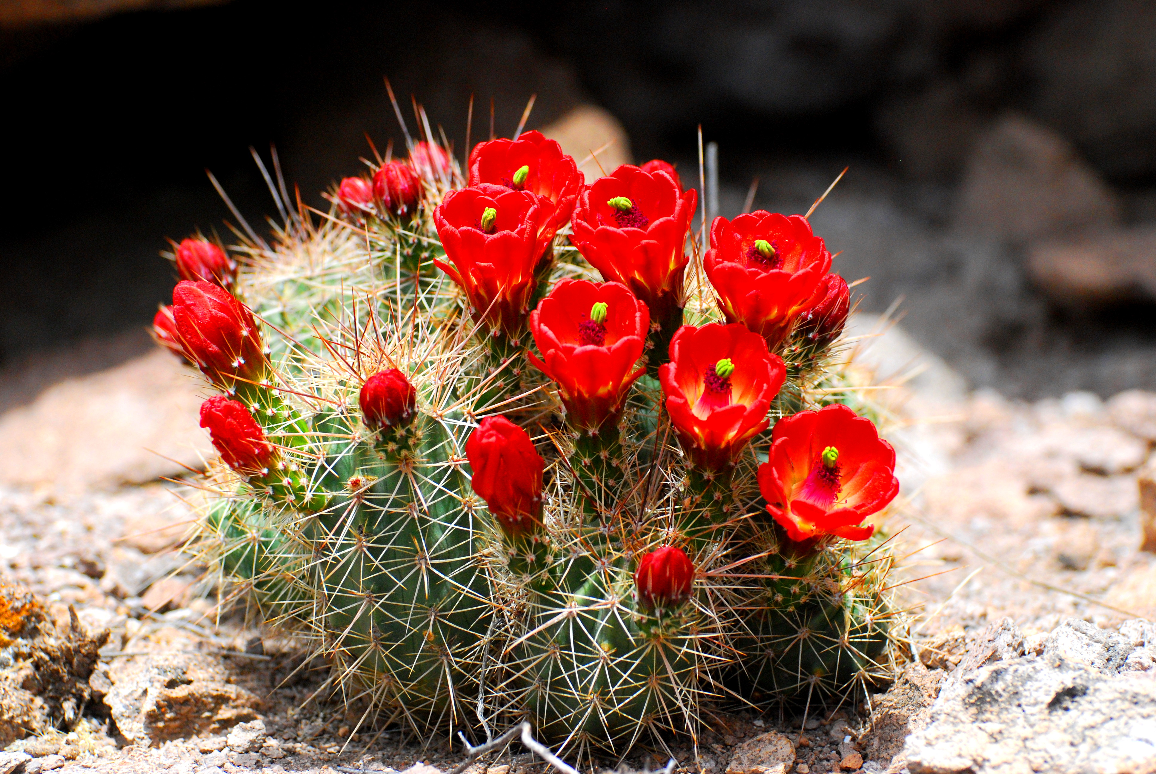
Claret Cup Cactus blooms near the Alamo Boundary Trail. Photo: NPS
Alamo Boundary Trail is a relatively easy hike from FS 289 to the boundary between the monument and the Valles Caldera National Preserve. The trail is only 1.3 miles each way but it also connects with the Coyote Call Trail on the Valles Caldera. Elevation change on the Alamo Boundary Trail is only 400'. This a trail is a great place for solitude.
The road to access this trail is closed during winter.
Accessibility The Alamo Boundary Trail is considered easy and is accessible to service animals.
The lines are the National Park Service's public trails layer, the trailheads and the waterfalls, views, peaks and historic places along them the Service's public points of interest, read 2026-10-16 and simplified for the map; the length is the line's, end to end. The write-ups are the Service's own "things to do" text, unedited. Heights come from USGS 3DEP through Terrain Tiles on AWS (Mapzen/Tilezen), read along each line and rounded; a short trail on steep ground can be off by a few tens of feet. Closures change: check the park's own site before you go.