National Historical Park · Kentucky

Trails in Abraham Lincoln Birthplace National Historical Park

9 named trails · 2 miles · 3 trailheads · 4 with the Park Service's own write-up. The lines, trailheads and points are the Park Service's; the write-ups are the Service's own words; the climbing is read from USGS elevation along each line.

Open on the parks mapEvery park with trailsPark on nps.gov

9 trails, A to Z.

Big Sink Trail

0.8 mi one way · about 40 ft of climbing · 767 ft–796 ft · hiking

779 ft 782 ft · 0.4 mi high 796 ft

Trailhead Big Sink Trailhead 787 ft Drive there

Big Sink Trail the Park Service's write-up

1-2 Hours · dogs allowed

Start Big Sink Trail
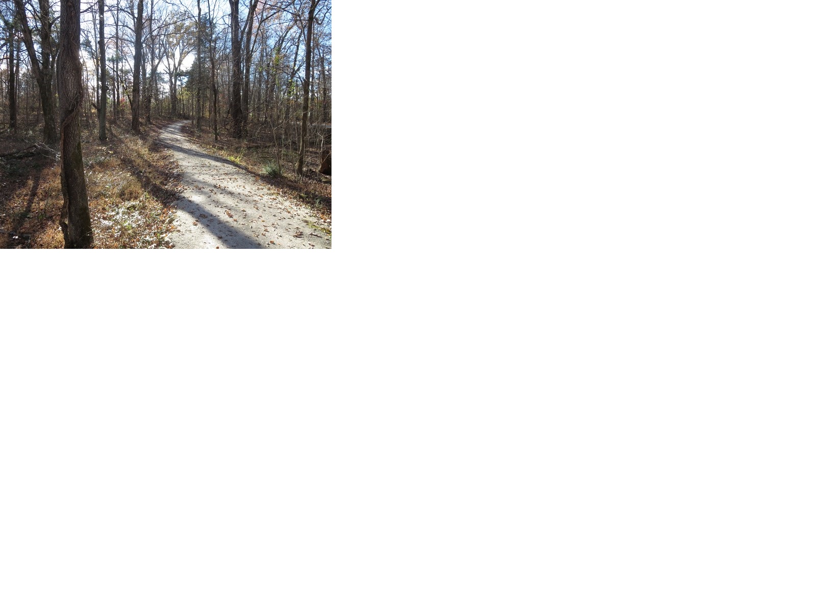
Wooded gravel trail
Big Sink Trail

The Big Sink Trail is a hiking trail located in the picnic area of the Birthplace Unit of the park on the east side of Highway U.S. 31E. The trail has three loops of various lengths with Loop B being accessible. The trailhead is located in the picnic area where parking is available. Please use caution when hiking the trail as it crosses Keith Road at two separate locations. Watch for oncoming traffic when crossing Keith Road.

Trailhead Location: Picnic Area of the Birthplace Unit

Duration: 1 - 1 1/2 hours

Difficulty: Easy

Length: 1.36 mile (2.19 km)

Trail Type: Loop

Loop A is a hiking trail that is part of the 1.36 mile long Big Sink Trail located in the picnic area of the Birthplace Unit on the eastside of U.S. Highway 31E. This trail is composed of crushed dense grade gravel with a typical width of five feet and a maximum trail grade of 7%.

Trailhead Location: Picnic Area of the Birthplace Unit

Duration: 30 - 45 minutes

Difficulty: Easy

Length: .42 mile (.67 km)

Trail Type: Loop

Loop B is an accessible hiking trail that is part of the 1.36 mile long Big Sink Trail located in the picnic area of the Birthplace Unit on the eastside of U.S. Highway 31E. This accessible trail is composed of compacted lime chips with a typical width of five feet and a maximum trail grade of 5%.

Trailhead Location: Picnic Area of the Birthplace Unit

Duration: 30 - 45 minutes

Difficulty: Accessible - Easy

Length: .36 miles (.58 km)

Trail Type: Loop

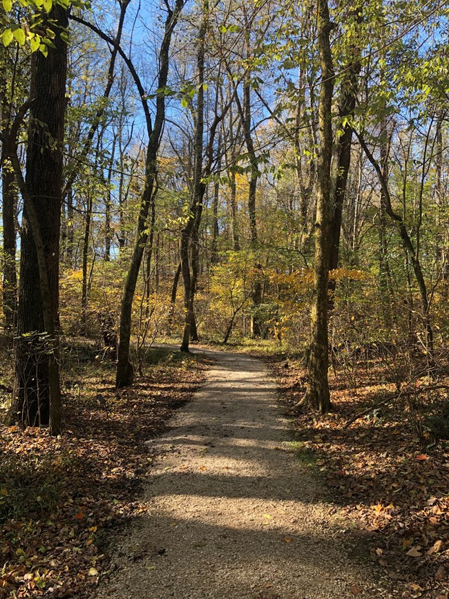
Loop C is a hiking trail that is part of the 1.36 mile long Big Sink Trail located in the picnic area of the Birthplace Unit on the eastside of U.S. Highway 31E. This trail is composed of crushed dense grade gravel with a typical width of five feet and a maximum trail grade of 13%.
Trailhead Location: Picnic Area of the Birthplace Unit

Duration: 30 - 45 minutes

Difficulty - Easy

Length: .58 miles (.93 km)

Trail Type: Loop

Accessibility All three loops are accessbile. Loop A trail is composed of crushed dense grade gravel with a typical width of five feet and a maximum trail grade of 7%. Loop B trail is composed of compacted lime chips with a typical width of five feet and a maximum trail grade of 5% Look C trail is composed of crushed dense grade gravel with a typical width of five feet and a maximum trail grade of 13%.

This hike on nps.gov

Boardwalk and Deck

0.1 mi one way · about 20 ft of climbing · 738 ft–761 ft · hiking

History

738 ft 738 ft · 0.0 mi high 739 ft

Along the way Memorial Building

Trailhead Boundary Oak Trailhead 739 ft Drive there

Boundary Oak Trail

0.3 mi one way · about 30 ft of climbing · 741 ft–769 ft · concrete surface · hiking

History

741 ft 762 ft · 0.3 mi high 769 ft

Along the way Memorial Building

Trailhead Boundary Oak Trailhead 739 ft Drive there

Boundary Oak Trail the Park Service's write-up

20-45 Minutes · dogs allowed

wooded trail
Boundary Oak Trail

The Boundary Oak Trail is a hiking trail located in the Visitor Center area of the park. This trail is a short hike through the woods on the original Sinking Spring Farm where Abraham Lincoln was born and where wildlife, such as birds, squirrels, deer, and wild turkey may be seen.

Trailhead Location: One trailhead is located northwest behind the Memorial Building.

Another trailhead location is at the Boundary Oak site

Duration: 30 - 45 minutes

Difficulty: Easy

Length: .3 miles (.48 km)

Trail Type: Loop

Accessibility While the trail is easy, the trail has a few steep grades and has wooden steps in a few locations.

This hike on nps.gov

Pathway of a President

0.1 mi one way · about 20 ft of climbing · 740 ft–756 ft · hiking

HistoryVisitor centers

740 ft 756 ft · 0.1 mi high 756 ft

Along the way Memorial Building Visitor Center

Trailhead Pathway of a President Trailhead 751 ft Drive there

Travel the Pathway of a President the Park Service's write-up

10 Minutes · dogs allowed

wooden boardwalk trailhead
Travel the Pathway of a President Photo: NPS

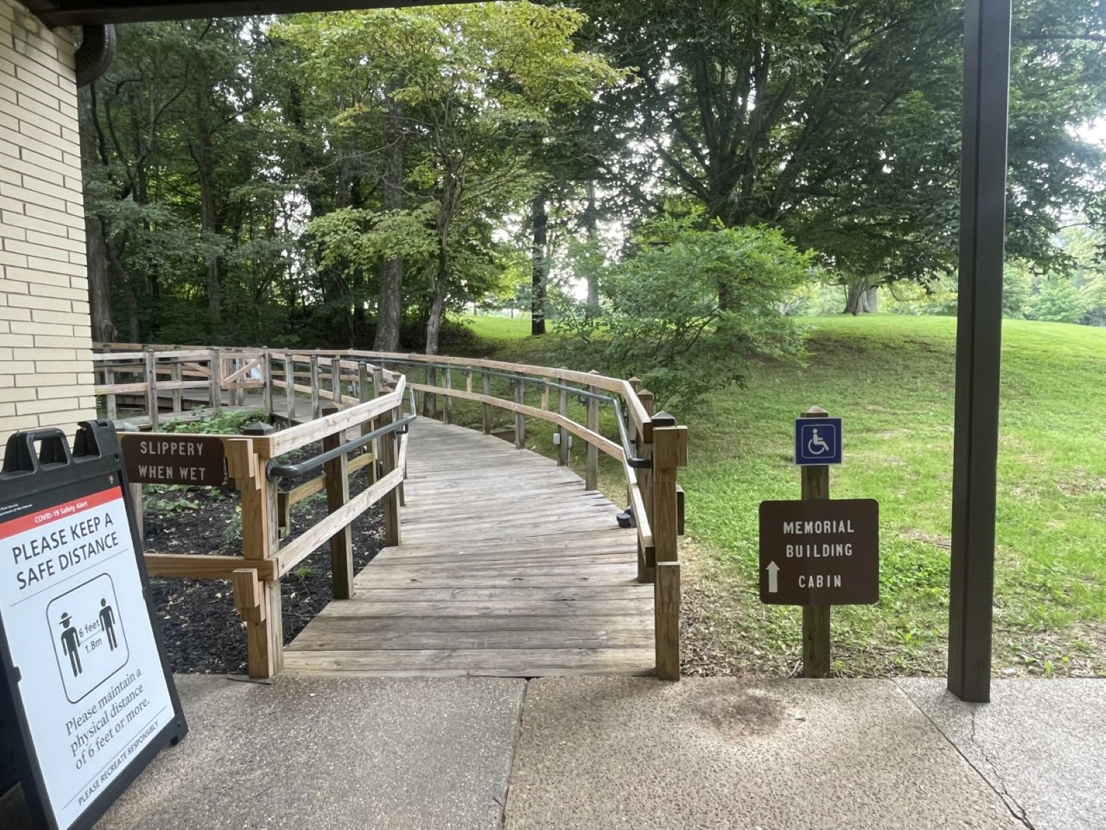
Pathway of a President is an accessible wooden boardwalk that leads from the Visitor Center to the Memorial Building. The wooden boardwalk is 650 feet in length with a typical width of five feet and a maximum grade of 5% and is suitable for wheelchairs. At its northern terminus the wooden boardwalk joins with a 250 feet long sidewalk that completes the accessible path to the Memorial Building.

Trailhead Location: Visitor Center of the Birthplace Unit

Duration: 10 - 15 minutes

Difficulty: Accessible - Easy

Length: 900 feet (.27 km)

Trail Type: In and Out

Accessibility This trail is an accessible wooden boardwalk. It has benches along the trail to rest.

This hike on nps.gov

Sidewalk

0.5 mi one way · about 20 ft of climbing · 525 ft–760 ft · concrete surface · hiking

HistoryVisitor centers

739 ft 744 ft · 0.1 mi high 744 ft

Along the way Memorial Building Kentucky Boyhood Home at Knob Creek Unit Visitor Center Visitor Center

Trailheads Boundary Oak Trailhead 739 ft Drive there · Pathway of a President Trailhead 751 ft Drive there

Overlook Trail at Knob Creek the Park Service's write-up

2-3 Hours · dogs allowed

view of Knob Creek surrounded by trees and fields.
Knob Creek overlook

Boyhood Home Overlook Trail at Knob Creek

Welcome to Lincoln’s Boyhood Home at Knob Creek. A popular activity here is to hike to the one and a half miles overlook trail where you will see a spectacular view of the valley that the old Louisville and Nashville Turnpike once occupied. As you walk the Overlook Trail, you will pass several points of interest along the way. Please allow between two and three hours to complete this strenuous three-mile round-trip hike. As with any National Park Service trail, we ask that you take only memories and pictures, leave only footprints. Please click on trail image for trail map.

Points of interest along the trail

• The Field – you are passing through the field that was once farmed by the

Thomas Lincoln family

• Knob Creek– on your right is Knob Creek, water source for the farm. This is also the creek where Austin Gollaher, reportedly rescued young Abraham when he fell in the creek.

• The Spur Climb – as you walk out of the field, you will begin to climb a very steep incline to the top of the ridge above the farm – use caution the trail is slippery, uneven, and rocky here – try to imagine the flash floods that occasionally washed away Thomas Lincoln’s crops

•The Metal Sheets – once you’re on top of the ridge you will notice several pieces of sheet metal; this is a NPS study on wildlife in this area – do not disturb

•The Pond – as you pass the pond on the way to the overlook, you will notice a wide variety of amphibian and bird species living in and near this water source

•The Overlook – you will see a great view of the valley that Abraham Lincoln once lived in; the road you see below is US 31E, which follows the old Louisville and Nashville Turnpike

Safety Information

· Check in at the Ranger Station and/or Visitor Center before and after your hike

· Sturdy shoes or hiking boots are strongly recommended for this hike

· Walking surfaces are rough, uneven, slippery, and steep – USE CAUTION!

· Take adequate drinking water for each person in your group

· Some of the inclines on this trail are very steep and persons with respiratory, heart, or other health conditions should consider another activity - this hike is very strenuous

· Ticks, mosquitoes, wasps, hornets, and chiggers are present here, use insect repellent

· Poisonous and non-poisonous snakes are present here – avoid going near any snake

· Collection of animals, plants, rocks, fossils, and artifacts of any kind is prohibited

· Adults must accompany children at all times

· Use caution on creek banks; the soil is unstable and may give way

· Use caution on the edge of ridges

· Severe thunderstorms may occur suddenly, there is no storm shelter on top of the hill

Trail map and guide are available at the Ranger Station and/or VisitorCenter.

Trailhead Location: Parking lot at Boyhood Home Unit at Knob Creek

Duration: 2 1/2 - 3 hours

Difficulty: Strenuous

Length: 1 1/2 miles (2.4 km)

Trail Type: In and Out

The Boyhood Home Unit at Knob Creek grounds are open daily dawn to dusk. The buildings are closed for the winter.

Accessibility Traill is not accessible as walking surfaces are rough, uneven, slippery, and steep – USE CAUTION! The trail is dirt with a few wooden steps and a wooden bridge that links to a strenous trail.

This hike on nps.gov

About these trails

The lines are the National Park Service's public trails layer, the trailheads and the waterfalls, views, peaks and historic places along them the Service's public points of interest, read 2026-10-14 and simplified for the map. The write-ups are the Service's own "things to do", unedited. Heights come from USGS 3DEP through Terrain Tiles on AWS (Mapzen/Tilezen), read along each line and rounded; a short trail on steep ground can be off by a few tens of feet. Closures change: check the park's own site before you go.